
Route 1: Amstel river and Amsterdam city center canals
A winning combination: the Amstel river and some of the most famous canals of the World Heritage area
This amazing route is about ‘postcard Amsterdam’. You will get to see plenty of well-known canals, bridges and buildings.
The route starts in the relatively serene southern city center. It continues with an impressive stretch on the spacious Amstel river. Then it enters the World Heritage area, exploring some of the most famous and beautiful canals. And finally, it closes the loop by returning to the Boaty dock via the Rijksmuseum.
Without any long breaks this route takes about three hours.
Places of interest on this route
Prepare yourselves for an abundance of highlights:
- southern Amsterdam architecture by famous architect Berlage
- the skyline at the Amstel station
- the former city archives
- houseboats in all sizes and shapes
- the Amstel Hotel and the Carré Theatre
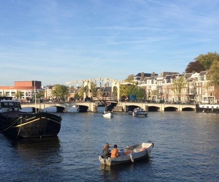
- the most famous bridge in town (the ‘skinny bridge’)
- the Hermitage Museum
- view on ‘the Seven Bridges’ from Herengracht
- the ‘Golden Bend’ (most prosperous part) on Herengracht
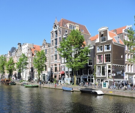
- the Leliegracht or Brouwersgracht with their beautiful canal houses
- the Jordaan area with its ‘Nine Streets’
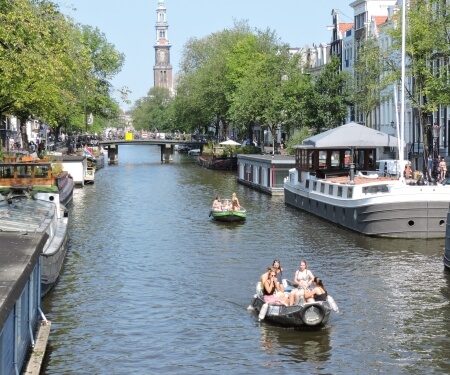
- the Prinsengracht with its Houseboat Museum, Anne Frank’s House and the iconic Westerkerk church
- the ‘Spiegelkwartier’ area with its many galleries
- the Rijksmuseum
- the small Red light district at Ruysdaelkade
- ‘de Pijp’ neighbourhood
- and much, much more…

This route on the map
This route is clearly indicated on the large canal map that we provide. Before departure, we will be happy to carefully explain the map in general and this route in particular.
Below you can also see a basic preview of this route on Google Maps.
